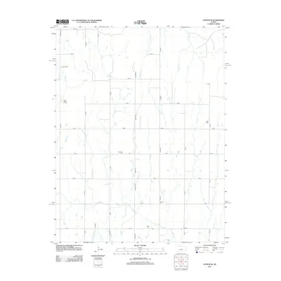
2012 Map of Gypsum SE
USGS Topo · Published 2012About this map
Elm Springs sits at the heart of this rural landscape in Saline County, where the agricultural grid is intersected by the historic route of the Chisholm Trl. The map documents a territory defined by its watercourses, including the N Cottonwood River in the south and the winding paths of W Holland Cr and E Holland Cr further north. This region illustrates the intersection of traditional land use and modern energy extraction, as seen in the Fanska Oil Field and Fanska South Oil Field located along the western margin. The social and genealogical fabric of the area is preserved through several local burying grounds, such as Friedenstal Cem, Logan Cem, Pankratz Cem, and Baptist Cem, which serve as quiet markers of the community's heritage amidst the expansive prairie fields.
Find a feature on this map
34 named features on this map. Tap any name to fly to it.
Don’t see what you’re looking for? This feature index may not catch every label — zoom into the map to look around manually.
Map Details
Editions of this 2012 Gypsum SE Map
This is the sole edition of this map. No revisions or reprints were ever made.
Other maps of this area

1889 · Newton
USGS Topo · 1:125,000

1889 · Abilene
USGS Topo · 1:125,000

1894 · Newton
USGS Topo · 1:125,000

1894 · Abilene
USGS Topo · 1:125,000

1955 · Gypsum
USGS Topo · 1:24,000

1955 · Hutchinson
USGS Topo · 1:250,000

1959 · Hutchinson
USGS Topo · 1:250,000

1964 · Elmo
USGS Topo · 1:24,000

1964 · Carlton
USGS Topo · 1:24,000
1964 · Gypsum SE
USGS Topo · 1:24,000