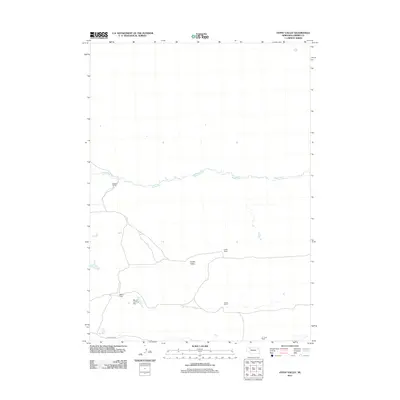
2011 Map of Gypsy Valley
USGS Topo · Published 2011About this map
Gypsy Valley defines the heart of this landscape in the Nebraska Sandhills, where human presence is marked primarily by scattered, named ranching operations. The Snake River meanders across the northern portion of the map, providing a vital water source for the surrounding high plains. Settlement patterns here are tied to legacy cattle operations such as Elsberry Ranch, Ladely Ranch, and Kimble Ranch, which represent the enduring pastoral economy of Cherry County. Remote infrastructure is sparse, highlighted by the Merrill Landing Strip near the Merrill Ranch and the presence of Fawn Lake Rd in the south. This survey captures a specific moment in the rural history of the region, where large landholdings and natural drainages like the Snake River dictate the geography of the high plains.
Find a feature on this map
9 named features on this map. Tap any name to fly to it.
Don’t see what you’re looking for? This feature index may not catch every label — zoom into the map to look around manually.
Map Details
Editions of this 2011 Gypsy Valley Map
This is the sole edition of this map. No revisions or reprints were ever made.
Other maps of this area

1948 · Spade Ranch
USGS Topo · 1:62,500

1949 · Turpin Lake
USGS Topo · 1:62,500

1950 · Spade Ranch
USGS Topo · 1:62,500

1951 · Gypsy Valley
USGS Topo · 1:62,500

1951 · Turpin Lake
USGS Topo · 1:62,500

1955 · Alliance
USGS Topo · 1:250,000

1957 · Alliance
USGS Topo · 1:250,000

1957 · Valentine
USGS Topo · 1:250,000

1958 · Alliance
USGS Topo · 1:250,000

1959 · Valentine
USGS Topo · 1:250,000