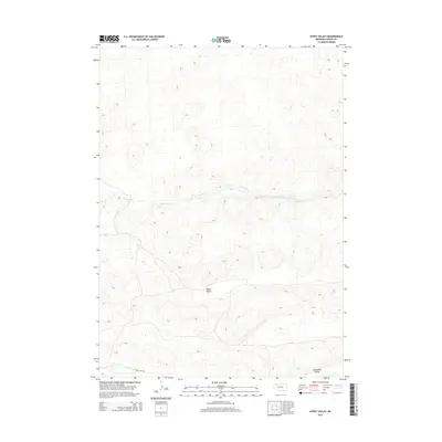
2014 Map of Gypsy Valley
USGS Topo · Published 2014About this map
Snake River meanders across this northern Nebraska landscape, carving a distinct path through the rolling sandhills of Cherry County. The topography is dominated by large, sweeping depressions and high ridges, notably including the broad Gypsy Valley which stretches across the center of the sheet. Further south, the Tennessee Valley provides another significant landmark in this sparsely populated ranching country, where the only primary thoroughfare is Fawn Lake Rd. This 2014 survey documents a classic Nebraska Sandhills environment, where drainage is limited to subtle features like Willow Cr in the southeast corner. The map captures the specialized land use patterns and remote character of the region during the early 21st century.
Find a feature on this map
5 named features on this map. Tap any name to fly to it.
Don’t see what you’re looking for? This feature index may not catch every label — zoom into the map to look around manually.
Map Details
Editions of this 2014 Gypsy Valley Map
This is the sole edition of this map. No revisions or reprints were ever made.
Other maps of this area
1948 · Spade Ranch
USGS Topo · 1:62,500
1949 · Turpin Lake
USGS Topo · 1:62,500
1950 · Spade Ranch
USGS Topo · 1:62,500
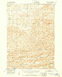
1951 · Gypsy Valley
USGS Topo · 1:62,500
1951 · Turpin Lake
USGS Topo · 1:62,500
1955 · Alliance
USGS Topo · 1:250,000
1957 · Alliance
USGS Topo · 1:250,000
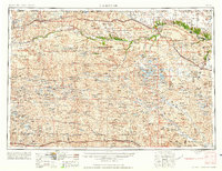
1957 · Valentine
USGS Topo · 1:250,000
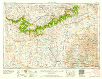
1958 · Alliance
USGS Topo · 1:250,000
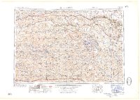
1959 · Valentine
USGS Topo · 1:250,000