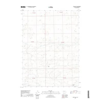
2017 Map of Gypsy Valley
USGS Topo · Published 2017About this map
Snake River meanders across this landscape of Nebraska's Sandhills region, carving a defined channel through the varied terrain of Gypsy Valley and Tennessee Valley. This 2017 topographic record documents a largely open and natural expanse within Cherry County, where the topography is defined by complex sand dune formations and occasional wetland depressions. Settlement is sparse, with transportation limited to routes like Fawn Lake Rd in the southern portion of the quadrangle. Small, isolated bodies of water such as Milligan Lake dot the lowlands between ridges, reflecting the hydrologic character of this part of the state. The map preserves the exact township and range divisions, including t30n r40w and t31n r39w, which continue to define property and administrative boundaries in this rural section of the Great Plains.
Find a feature on this map
11 named features on this map. Tap any name to fly to it.
Don’t see what you’re looking for? This feature index may not catch every label — zoom into the map to look around manually.
Map Details
Editions of this 2017 Gypsy Valley Map
This is the sole edition of this map. No revisions or reprints were ever made.
Other maps of this area
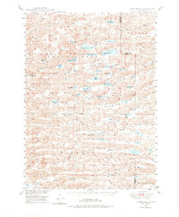
1948 · Spade Ranch
USGS Topo · 1:62,500
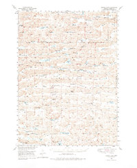
1949 · Turpin Lake
USGS Topo · 1:62,500
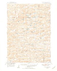
1950 · Spade Ranch
USGS Topo · 1:62,500
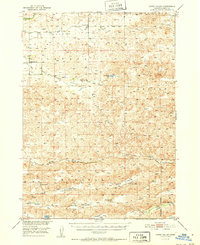
1951 · Gypsy Valley
USGS Topo · 1:62,500
1951 · Turpin Lake
USGS Topo · 1:62,500
1955 · Alliance
USGS Topo · 1:250,000
1957 · Alliance
USGS Topo · 1:250,000
1957 · Valentine
USGS Topo · 1:250,000
1958 · Alliance
USGS Topo · 1:250,000
1959 · Valentine
USGS Topo · 1:250,000