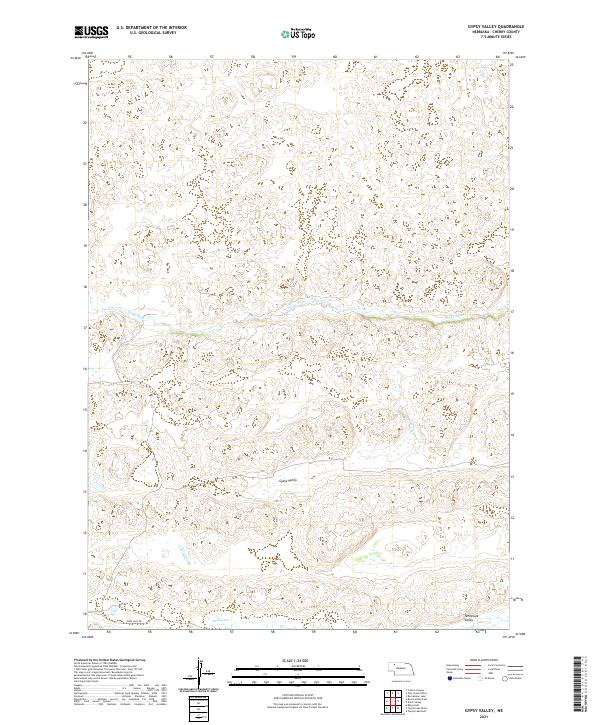
2021 Map of Gypsy Valley
USGS Topo · Published 2021About this map
Snake River meanders across the center of this Cherry County landscape, carving a distinct corridor through the Nebraska Sandhills. The terrain is defined by broad depressions and valleys, most notably Gypsy Valley and Tennessee Valley, which suggest the historic path of water and settlement in this cattle-ranching region. Human infrastructure is minimal, represented largely by section lines and the occasional artery like Fawn Lake Rd. To the south, Morgan Lake sits within a low-lying basin, serving as a rare permanent water feature in a landscape dominated by sand dunes and seasonal wetlands. The map provides a precise view of the Public Land Survey System grid, including township markers such as t30n r39w and t29n r40w, which are essential for researchers tracing specific land patents or historic grazing allotments.
Find a feature on this map
11 named features on this map. Tap any name to fly to it.
Don’t see what you’re looking for? This feature index may not catch every label — zoom into the map to look around manually.
Map Details
Editions of this 2021 Gypsy Valley Map
This is the sole edition of this map. No revisions or reprints were ever made.
Other maps of this area

1948 · Spade Ranch
USGS Topo · 1:62,500

1949 · Turpin Lake
USGS Topo · 1:62,500

1950 · Spade Ranch
USGS Topo · 1:62,500

1951 · Gypsy Valley
USGS Topo · 1:62,500

1951 · Turpin Lake
USGS Topo · 1:62,500

1955 · Alliance
USGS Topo · 1:250,000

1957 · Alliance
USGS Topo · 1:250,000

1957 · Valentine
USGS Topo · 1:250,000

1958 · Alliance
USGS Topo · 1:250,000

1959 · Valentine
USGS Topo · 1:250,000