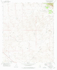
1973 Map of Haberstock Hill
USGS Topo · Published 1976About this map
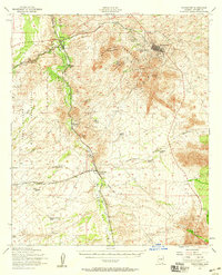
Coronado National Forest lands dominate the northeastern corner of this landscape, where the terrain begins its ascent into the mountains. This 1970s survey captures a quintessential Cochise County environment defined by an extensive network of ephemeral drainages, including Slavin Wash, Escalante Wash, and Clifford Wash. The distribution of water sources like Sycamore Spring, Costello Spring, and various man-made tanks such as Coyote Tank and Murphy Tank indicates a landscape primarily utilized for cattle ranching. High points like Haberstock Hill and Smith Hill serve as prominent landmarks amidst a web of transportation routes ranging from the established Middlemarch Road and Robertson Road to remote jeep trails and a significant utility pipeline cutting across the southwestern section.
Find a feature on this map
28 named features on this map. Tap any name to fly to it.
Don’t see what you’re looking for? This feature index may not catch every label — zoom into the map to look around manually.
Map Details
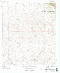
Editions of this 1973 Haberstock Hill Map
2 editions found
Other maps of this area

1915 · Benson
USGS Topo · 1:125,000

1916 · Pearce
USGS Topo · 1:125,000

1922 · St. David
USGS Topo · 1:62,500

1925 · Gleeson
USGS Topo · 1:62,500

1926 · Courtland
USGS Topo · 1:62,500

1932 · Fairbank
USGS Topo · 1:62,500

1943 · Benson
USGS Topo · 1:125,000
1952 · Fairbank
USGS Topo · 1:24,000
1952 · Tombstone
USGS Topo · 1:24,000
1952 · Tombstone
USGS Topo · 1:62,500