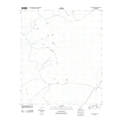
2010 Map of Hachita Peak
USGS Topo · Published 2010About this map
Mining operations and remote ranching outposts define this high-desert landscape in the Little Hatchet Mountains. The terrain is marked by a dense concentration of mineral extraction sites, including the Silver Trail Tunnel, Copper Dick Mine, and Sylvanite Mine, reflecting a long history of prospecting. Near the center of the range, the settlement of Sylvanite sits among several tunnels and veins, such as the Creeper Tunnels and Handcar Vein.
Find a feature on this map
34 named features on this map. Tap any name to fly to it.
Don’t see what you’re looking for? This feature index may not catch every label — zoom into the map to look around manually.
Map Details
Editions of this 2010 Hachita Peak Map
This is the sole edition of this map. No revisions or reprints were ever made.
Other maps of this area

1918 · Big Hatchet Peak
USGS Topo · 1:62,500

1918 · Hachita
USGS Topo · 1:62,500

1918 · Walnut Wells
USGS Topo · 1:62,500

1918 · Playas
USGS Topo · 1:62,500

1919 · Playas
USGS Topo · 1:62,500

1923 · Walnut Wells
USGS Topo · 1:62,500

1955 · Douglas
USGS Topo · 1:250,000

1959 · Douglas
USGS Topo · 1:250,000

1961 · Douglas
USGS Topo · 1:250,000

1964 · Douglas
USGS Topo · 1:250,000