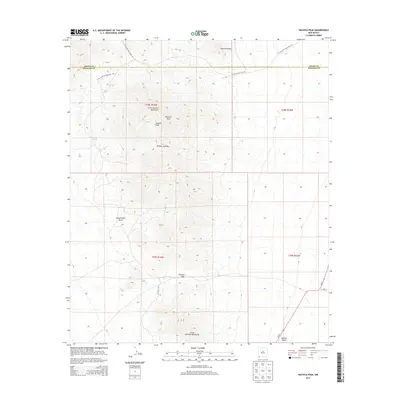
2013 Map of Hachita Peak
USGS Topo · Published 2013About this map
Hachita Peak and Lalacha Peak dominate this landscape within the Little Hatchet Mountains along the boundary of Grant and Hidalgo counties. This 2013 survey documents a remote high-desert environment defined by significant topographic relief and vital water sources like Livermore Spring and Cottonwood Spring. The area is characterized by its strategic mountain passes, including Broken Jug Pass and Granite Pass, which have long facilitated movement through the range.
Find a feature on this map
21 named features on this map. Tap any name to fly to it.
Don’t see what you’re looking for? This feature index may not catch every label — zoom into the map to look around manually.
Map Details
Editions of this 2013 Hachita Peak Map
This is the sole edition of this map. No revisions or reprints were ever made.
Other maps of this area

1918 · Big Hatchet Peak
USGS Topo · 1:62,500

1918 · Hachita
USGS Topo · 1:62,500

1918 · Walnut Wells
USGS Topo · 1:62,500

1918 · Playas
USGS Topo · 1:62,500

1919 · Playas
USGS Topo · 1:62,500

1923 · Walnut Wells
USGS Topo · 1:62,500

1955 · Douglas
USGS Topo · 1:250,000

1959 · Douglas
USGS Topo · 1:250,000

1961 · Douglas
USGS Topo · 1:250,000

1964 · Douglas
USGS Topo · 1:250,000