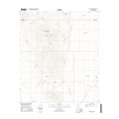
2017 Map of Hachita Peak
USGS Topo · Published 2017About this map
The Little Hatchet Mountains dominate this high-desert landscape in southwestern New Mexico, straddling the boundary between Grant and Hidalgo counties. High points like Hachita Peak and Lalacha Peak rise above the surrounding flats of Hachita Valley and Playas Valley. The terrain is marked by critical water sources for local ranching and travel, including Livermore Spring and Cottonwood Spring. Significant mountain passages such as Broken Jug Pass and Granite Pass underscore the historical importance of the region's topography for movement. A modern layer of use is evidenced by the Continental Divide National Scenic Trail, which winds through the central peaks. Local infrastructure is represented by primitive routes like Little Hatchet Mountain Rd and Stone Cabin Gulch, indicating a landscape largely defined by its natural relief and isolated ranching access.
Find a feature on this map
24 named features on this map. Tap any name to fly to it.
Don’t see what you’re looking for? This feature index may not catch every label — zoom into the map to look around manually.
Map Details
Editions of this 2017 Hachita Peak Map
This is the sole edition of this map. No revisions or reprints were ever made.
Other maps of this area

1918 · Big Hatchet Peak
USGS Topo · 1:62,500

1918 · Hachita
USGS Topo · 1:62,500

1918 · Walnut Wells
USGS Topo · 1:62,500

1918 · Playas
USGS Topo · 1:62,500

1919 · Playas
USGS Topo · 1:62,500

1923 · Walnut Wells
USGS Topo · 1:62,500

1955 · Douglas
USGS Topo · 1:250,000

1959 · Douglas
USGS Topo · 1:250,000

1961 · Douglas
USGS Topo · 1:250,000

1964 · Douglas
USGS Topo · 1:250,000