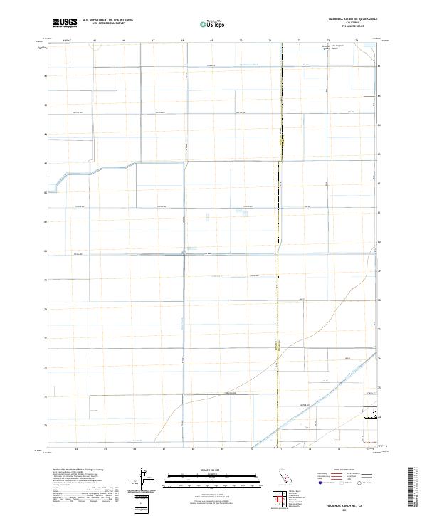
2021 Map of Hacienda Ranch NE
USGS Topo · Published 2021About this map
The San Joaquin Valley landscape within the Central Valley is defined by a meticulous grid of agricultural infrastructure and irrigation waterways. This modern survey reveals the engineering required to sustain industrial-scale farming in Kings and Tulare counties. The movement of water is managed through a complex system of channels including the Lamberson Ditch, the prominent Main Canal, and smaller distribution points like Lateral F and Lateral B. In the southeast, the Homeland Canal cuts diagonally across the section lines, breaking the otherwise rigid north-south geometry of the local road network. These roads, from Salem Ave in the north to Center Ave in the south, provide the primary access for this rural interior, tracing a land pattern established by the Public Land Survey System.
Find a feature on this map
29 named features on this map. Tap any name to fly to it.
Don’t see what you’re looking for? This feature index may not catch every label — zoom into the map to look around manually.
Map Details
Editions of this 2021 Hacienda Ranch NE Map
This is the sole edition of this map. No revisions or reprints were ever made.
Other maps of this area

1914 · Lost Hills
USGS Topo · 1:125,000

1927 · Lake View School
USGS Topo · 1:31,680

1928 · Corcoran
USGS Topo · 1:31,680

1929 · Alpaugh
USGS Topo · 1:31,680

1929 · Hacienda Ranch
USGS Topo · 1:31,680

1929 · West Alpaugh
USGS Topo · 1:31,680

1929 · Allensworth
USGS Topo · 1:31,680

1931 · Harvester
USGS Topo · 1:31,680

1932 · El Rico Ranch
USGS Topo · 1:31,680

1932 · Lone Tree Well
USGS Topo · 1:31,680