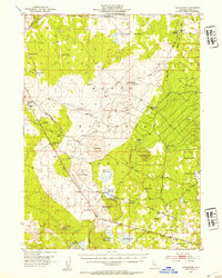
1952 Map of Hackamore
USGS Topo · Published 1954About this map
Modoc National Forest dominates this mid-century survey of northeastern California, revealing a landscape managed for timber, transit, and early industrial activity. The Southern Pacific railroad cuts a diagonal path through the high plateau, serving the small settlement of Hackamore and the nearby Pumice Brick Plant. This infrastructure highlights the era's reliance on rail for transporting raw materials from the remote volcanic interior. A Plant Quarantine Station at the junction of Tickner Road and the rail line indicates the state's efforts to regulate agricultural movement during the early 1950s.
Find a feature on this map
49 named features on this map. Tap any name to fly to it.
Don’t see what you’re looking for? This feature index may not catch every label — zoom into the map to look around manually.
Map Details
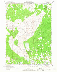
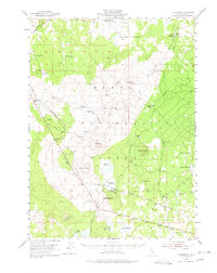
Editions of this 1952 Hackamore Map
4 editions found
Other maps of this area

1886 · Alturas
USGS Topo · 1:250,000

1886 · Modoc Lava Bed
USGS Topo · 1:250,000

1892 · Modoc Lava-Bed
USGS Topo · 1:250,000

1892 · Alturas
USGS Topo · 1:250,000

1951 · Clear Lake Reservoir
USGS Topo · 1:62,500

1951 · Tulelake
USGS Topo · 1:62,500

1952 · Timber Mountain
USGS Topo · 1:62,500

1952 · Hackamore
USGS Topo · 1:62,500

1954 · Alturas
USGS Topo · 1:250,000

1958 · Alturas
USGS Topo · 1:250,000