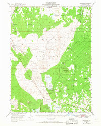
1952 Map of Hackamore
USGS Topo · Published 1967About this map
Modoc National Forest dominates this northern California landscape, defined by volcanic terrain and a high-altitude water management system of reservoirs and tanks. The Southern Pacific railroad cuts a diagonal path through the forest, connecting the small settlement of Mearas to the broader regional network. Industrial activity is concentrated at the Pumice Block Plant near Lookout Road, while the Plant Quarantine Station indicates the importance of agricultural control at the state border during the mid-20th century.
Find a feature on this map
39 named features on this map. Tap any name to fly to it.
Don’t see what you’re looking for? This feature index may not catch every label — zoom into the map to look around manually.
Map Details
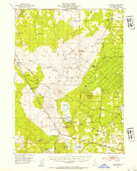
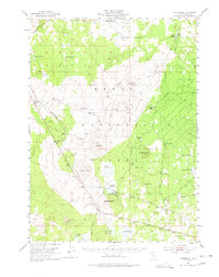
Editions of this 1952 Hackamore Map
4 editions found
Other maps of this area

1886 · Alturas
USGS Topo · 1:250,000

1886 · Modoc Lava Bed
USGS Topo · 1:250,000

1892 · Modoc Lava-Bed
USGS Topo · 1:250,000

1892 · Alturas
USGS Topo · 1:250,000

1951 · Clear Lake Reservoir
USGS Topo · 1:62,500

1951 · Tulelake
USGS Topo · 1:62,500

1952 · Timber Mountain
USGS Topo · 1:62,500

1952 · Hackamore
USGS Topo · 1:62,500

1954 · Alturas
USGS Topo · 1:250,000

1958 · Alturas
USGS Topo · 1:250,000