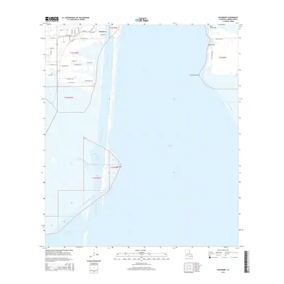
2015 Map of Hackberry
USGS Topo · Published 2015About this map
The settlement of Hackberry occupies the northern edge of this coastal landscape, situated where the marshy terrain meets the deep-water Calcasieu Ship Channel. This industrial artery cuts through the center of the sheet, separating the town from the expanse of Calcasieu Lake. The map details a complex hydrologic network of natural features like Long Point Bayou and Long Point Lake alongside man-made infrastructure such as the West Cove Canal and Sweet Lake Canal. These waterways serve as the lifeblood for both local navigation and the petrochemical industry that has long defined Cameron Parish.
Find a feature on this map
40 named features on this map. Tap any name to fly to it.
Don’t see what you’re looking for? This feature index may not catch every label — zoom into the map to look around manually.
Map Details
Editions of this 2015 Hackberry Map
This is the sole edition of this map. No revisions or reprints were ever made.
Other maps of this area

1932 · Moss Lake
USGS Topo · 1:31,680

1932 · Lake Charles SW
USGS Topo · 1:31,680

1934 · Cameron
USGS Topo · 1:24,000

1934 · Holly Beach
USGS Topo · 1:24,000

1934 · Sweet Lake
USGS Topo · 1:24,000

1934 · Browns Lake
USGS Topo · 1:24,000

1934 · Grand Bayou
USGS Topo · 1:24,000

1935 · Cameron
USGS Topo · 1:31,680

1935 · Sweet Lake
USGS Topo · 1:31,680

1935 · Hackberry
USGS Topo · 1:31,680