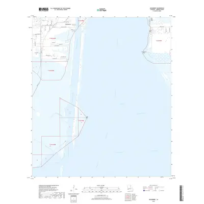
2018 Map of Hackberry
USGS Topo · Published 2018About this map
Hackberry serves as the primary upland settlement in this corner of Cameron Parish, where the local economy and geography are defined by the massive industrial waterway of the Calcasieu Ship Channel. This modern survey illustrates the intricate relationship between human engineering and the coastal marshland, with the town's residential streets like Main St and Devall Rd abutting the sprawling waters of Calcasieu Lake. The map reveals a landscape heavily altered by dredging and drainage, visible in the straight lines of the Sweet Lake Canal and West Cove Canal which cut through the native wetlands.
Find a feature on this map
40 named features on this map. Tap any name to fly to it.
Don’t see what you’re looking for? This feature index may not catch every label — zoom into the map to look around manually.
Map Details
Editions of this 2018 Hackberry Map
This is the sole edition of this map. No revisions or reprints were ever made.
Other maps of this area

1932 · Moss Lake
USGS Topo · 1:31,680

1932 · Lake Charles SW
USGS Topo · 1:31,680

1934 · Cameron
USGS Topo · 1:24,000

1934 · Holly Beach
USGS Topo · 1:24,000

1934 · Sweet Lake
USGS Topo · 1:24,000

1934 · Browns Lake
USGS Topo · 1:24,000

1934 · Grand Bayou
USGS Topo · 1:24,000

1935 · Cameron
USGS Topo · 1:31,680

1935 · Sweet Lake
USGS Topo · 1:31,680

1935 · Hackberry
USGS Topo · 1:31,680