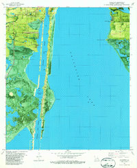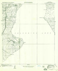
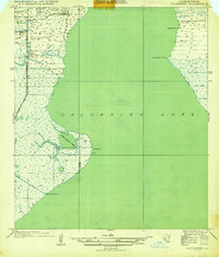
1935 Map of Hackberry
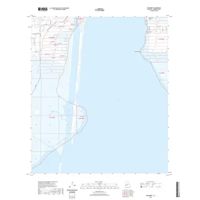
USGS Topo · Published 1958About this map
Hackberry PO and the surrounding marshlands of Calcasieu Lake reflect the transitional landscape of coastal Cameron Parish in the mid-1930s. The map captures a moment when land and water intersect through a series of human-made interventions, most notably the industrial drainage and navigation efforts seen in No 1 Canal, No 2 Canal, and No 3 Canal on the lake's eastern shore. These features, alongside the concentration of survey benchmarks and section lines, suggest a period of active land management and resource extraction in the region.
Find a feature on this map
21 named features on this map. Tap any name to fly to it.
Don’t see what you’re looking for? This feature index may not catch every label — zoom into the map to look around manually.
Map Details
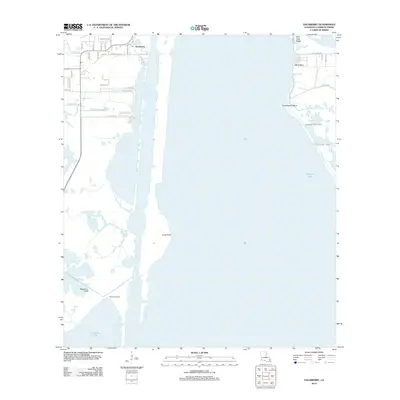
Editions of this 1935 Hackberry Map
2 editions found
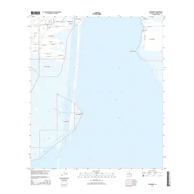
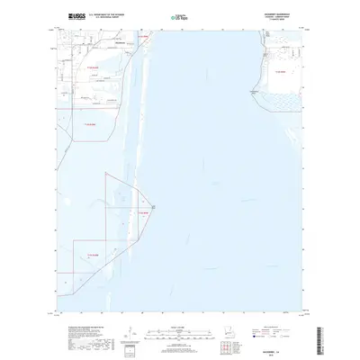
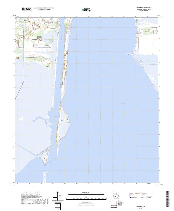
Historical Maps of Hackberry Through Time
7 maps found