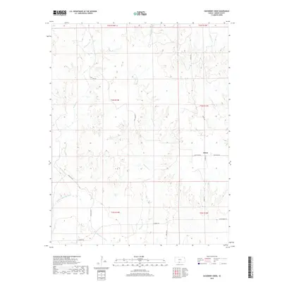
2018 Map of Hackberry Creek
USGS Topo · Published 2018About this map
Eldred serves as the primary landmark in this rural Barber County landscape, positioned at the intersection of several significant local arteries. The terrain is defined by a dense network of watercourses, most notably the Salt Fork Arkansas River which carves through the southwestern corner. Feeding into the larger hydrologic system are Big Sandy Cr, Hackberry Cr, and Driftwood Cr, which together create a rugged drainage pattern across the plains. This 2018 survey illustrates how modern road networks like Sandy Creek Rd and Prairie Dog Rd follow the natural topography, reflecting a long history of land use in south-central Kansas. The township and range boundaries, including t34s r14w, show the persistent influence of the Public Land Survey System on the development of this agricultural region.
Find a feature on this map
18 named features on this map. Tap any name to fly to it.
Don’t see what you’re looking for? This feature index may not catch every label — zoom into the map to look around manually.
Map Details
Editions of this 2018 Hackberry Creek Map
This is the sole edition of this map. No revisions or reprints were ever made.
Other maps of this area

1891 · Medicine Lodge
USGS Topo · 1:125,000

1893 · Medicine Lodge
USGS Topo · 1:125,000

1955 · Woodward
USGS Topo · 1:250,000

1955 · Pratt
USGS Topo · 1:250,000

1958 · Woodward
USGS Topo · 1:250,000

1959 · Pratt
USGS Topo · 1:250,000

1969 · Tegarden NE
USGS Topo · 1:24,000

1969 · Tegarden NW
USGS Topo · 1:24,000

1969 · Alva NW
USGS Topo · 1:24,000

1973 · Hardtner NW
USGS Topo · 1:24,000