
1973 Map of Hardtner NW
USGS Topo · Published 1975About this map
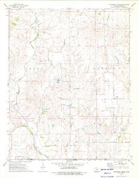
The Eagle Oil and Gas Field dominates this 1970s landscape in Barber County, where the economy was deeply tied to energy extraction. The terrain is defined by a dense network of pipeline routes and numerous wells, including the Elwood Gas Field to the south. Amidst this industrial infrastructure, evidence of early rural settlement remains, such as the Union Ch and Lodi Cem located near the headwaters of Little Mule Creek.
Find a feature on this map
14 named features on this map. Tap any name to fly to it.
Don’t see what you’re looking for? This feature index may not catch every label — zoom into the map to look around manually.
Map Details
Editions of this 1973 Hardtner NW Map
This is the sole edition of this map. No revisions or reprints were ever made.
Other maps of this area

1891 · Medicine Lodge
USGS Topo · 1:125,000

1893 · Medicine Lodge
USGS Topo · 1:125,000

1955 · Pratt
USGS Topo · 1:250,000

1959 · Pratt
USGS Topo · 1:250,000
1973 · Pump Creek
USGS Topo · 1:24,000
1973 · Lake City
USGS Topo · 1:24,000
1973 · Gerlane
USGS Topo · 1:24,000
1973 · Medicine Lodge
USGS Topo · 1:24,000
1973 · Hackberry Creek
USGS Topo · 1:24,000
1973 · Medicine Lodge SW
USGS Topo · 1:24,000