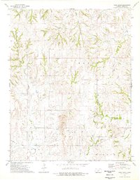
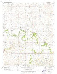
1973 Map of Pump Creek
USGS Topo · Published 1975About this map
Wolf Creek and Bitter Creek carve through this section of Barber County, where the landscape is defined by the extensive operations of the Oil Field and the And Gas Field. This 1970s survey illustrates a region dominated by energy extraction and cattle ranching, marked by a network of drainage systems like Big Sandy Creek and Hackberry Creek. Notable infrastructure for the era includes a remote Landing Strip and a significant Pipeline crossing the southern terrain near Elwood. Smaller tributaries such as Deadman Creek and Little Mule Creek provide further geographical detail for local history research. The map reflects a period of established petroleum production, where individual Oil Wells and Gas Wells are dotted across the prairie, indicating the industrial footprint on this rural Kansas topography.
Find a feature on this map
22 named features on this map. Tap any name to fly to it.
Don’t see what you’re looking for? This feature index may not catch every label — zoom into the map to look around manually.
Map Details
Editions of this 1973 Pump Creek Map
This is the sole edition of this map. No revisions or reprints were ever made.
Other maps of this area

1891 · Medicine Lodge
USGS Topo · 1:125,000

1893 · Medicine Lodge
USGS Topo · 1:125,000

1955 · Pratt
USGS Topo · 1:250,000

1959 · Pratt
USGS Topo · 1:250,000

1968 · Sun City SW
USGS Topo · 1:24,000

1973 · Hardtner NW
USGS Topo · 1:24,000
1973 · Deerhead
USGS Topo · 1:24,000
1973 · Lake City
USGS Topo · 1:24,000
1973 · Hackberry Creek
USGS Topo · 1:24,000
1973 · Medicine Lodge SW
USGS Topo · 1:24,000