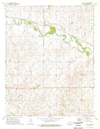
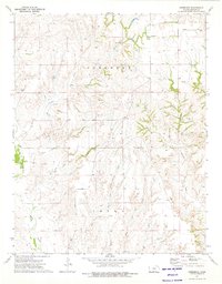
1973 Map of Lake City
USGS Topo · Published 1975About this map
The Medicine Lodge River meanders through the heart of Barber County, creating a valley for the Atchison Topeka and Santa Fe railroad line. This 1970s survey captures the settlement of Lake City, where the rail line and river valley intersect, providing a vital transport corridor in south-central Kansas. The surrounding landscape is characterized by numerous drainage systems, including Cottonwood Creek, Sand Creek, and Bear Creek, which feed into the primary river basin. Economic activity of the era is evidenced by the presence of energy extraction sites such as the Deerhead Gas Field and the Eagle Oil and Gas Field. Private aviation is also noted with the Mills Landing Strip, reflecting a specialized land use pattern common in rural ranching and industrial regions during the mid-20th century.
Find a feature on this map
17 named features on this map. Tap any name to fly to it.
Don’t see what you’re looking for? This feature index may not catch every label — zoom into the map to look around manually.
Map Details
Editions of this 1973 Lake City Map
This is the sole edition of this map. No revisions or reprints were ever made.
Other maps of this area

1891 · Medicine Lodge
USGS Topo · 1:125,000

1893 · Medicine Lodge
USGS Topo · 1:125,000

1955 · Pratt
USGS Topo · 1:250,000

1959 · Pratt
USGS Topo · 1:250,000

1968 · Sun City SW
USGS Topo · 1:24,000
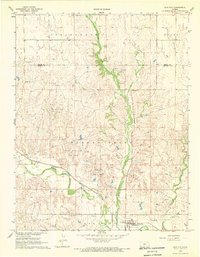
1968 · Sun City
USGS Topo · 1:24,000

1973 · Hardtner NW
USGS Topo · 1:24,000
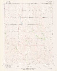
1973 · Sun City NE
USGS Topo · 1:24,000
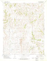
1973 · Pump Creek
USGS Topo · 1:24,000
1973 · Deerhead
USGS Topo · 1:24,000