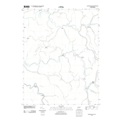
2010 Map of Hacker Valley
USGS Topo · Published 2010About this map
The Little Kanawha River and the Right Fork Little Kanawha River define the northern drainage of this Appalachian landscape, where narrow valleys dictate the placement of small West Virginia settlements. In the early 21st century, these communities remain connected by winding mountain roads such as Cowger Hill Rd and Replete Pugh Rd. The village of Hacker Valley serves as a local hub, anchored by the Hacker Valley Post Office near the confluence of Hodam Creek and the Left Fork Holly River.
Find a feature on this map
75 named features on this map. Tap any name to fly to it.
Don’t see what you’re looking for? This feature index may not catch every label — zoom into the map to look around manually.
Map Details
Editions of this 2010 Hacker Valley Map
This is the sole edition of this map. No revisions or reprints were ever made.
Other maps of this area

1893 · Buckhannon
USGS Topo · 1:125,000

1893 · Sutton
USGS Topo · 1:125,000

1896 · Buckhannon
USGS Topo · 1:125,000

1897 · Buckhannon
USGS Topo · 1:125,000

1906 · Burnsville
USGS Topo · 1:62,500

1908 · Sutton
USGS Topo · 1:48,000

1910 · Sutton Special
USGS Topo · 1:62,500

1912 · Crawford
USGS Topo · 1:48,000

1913 · Hacker Valley
USGS Topo · 1:48,000

1914 · Crawford
USGS Topo · 1:62,500