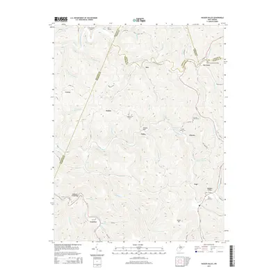
2014 Map of Hacker Valley
USGS Topo · Published 2014About this map
Hacker Valley serves as a focal point in this central West Virginia highlands region, situated where the Left Fork Holly River begins to wind through the narrow valley floor. The settlement pattern is defined by the complex topography of the Allegheny Plateau, with small communities like Cleveland, Vernon, and Replete positioned along ridge lines and creek beds. This 2014 survey documents a landscape marked by steep relief, where names like Courthouse Rock and Hanging Rock identify prominent geologic landmarks that guided early travelers.
Find a feature on this map
89 named features on this map. Tap any name to fly to it.
Don’t see what you’re looking for? This feature index may not catch every label — zoom into the map to look around manually.
Map Details
Editions of this 2014 Hacker Valley Map
This is the sole edition of this map. No revisions or reprints were ever made.
Other maps of this area

1893 · Buckhannon
USGS Topo · 1:125,000

1893 · Sutton
USGS Topo · 1:125,000

1896 · Buckhannon
USGS Topo · 1:125,000

1897 · Buckhannon
USGS Topo · 1:125,000

1906 · Burnsville
USGS Topo · 1:62,500

1908 · Sutton
USGS Topo · 1:48,000

1910 · Sutton Special
USGS Topo · 1:62,500

1912 · Crawford
USGS Topo · 1:48,000

1913 · Hacker Valley
USGS Topo · 1:48,000

1914 · Crawford
USGS Topo · 1:62,500