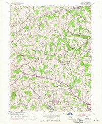
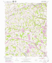
1953 Map of Hackett
USGS Topo · Published 1970About this map
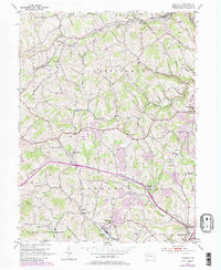
The rolling landscape of Nottingham and Somerset townships is defined by the winding paths of Mingo Creek and the North Branch Pigeon Creek. This mid-century view shows an area shaped by the extractive industries and rail lines of Washington County, with several Strip Mine operations and the sprawling Mine No 60 complex near the Bentleyville Reservoir. The transportation network is remarkably dense, featuring the Baltimore and Ohio and Penn Central railroads serving rural stops like Anderson Station and Crouches Station.
Find a feature on this map
49 named features on this map. Tap any name to fly to it.
Don’t see what you’re looking for? This feature index may not catch every label — zoom into the map to look around manually.
Map Details
Editions of this 1953 Hackett Map
6 editions found
Other maps of this area

1901 · Amity
USGS Topo · 1:62,500

1902 · Brownsville
USGS Topo · 1:62,500

1904 · Amity
USGS Topo · 1:62,500

1904 · Mc Keesport
USGS Topo · 1:62,500

1904 · Carnegie
USGS Topo · 1:62,500

1906 · Brownsville
USGS Topo · 1:62,500

1906 · Carnegie
USGS Topo · 1:62,500

1907 · Pittsburg
USGS Topo · 1:62,500

1908 · Carnegie
USGS Topo · 1:62,500

1931 · Brownsville
USGS Topo · 1:62,500
Featured Places
- Bentleyville, PA
- Thomas, Nottingham Township
- Kammerer, Nottingham Township
- Vanceville, Somerset Township
- Venetia, Peters Township