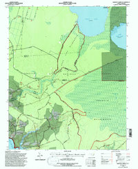
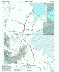
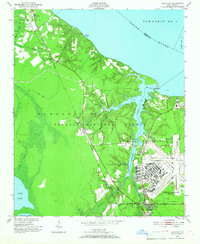
1994 Map of Hadnot Creek
USGS Topo · Published 1997About this map
The Croatan National Forest dominates this coastal North Carolina landscape, where vast wetlands like the Pocosin Wilderness and Pond Pine Wilderness define the terrain. Centered around Great Lake and the smaller Lake Simon Ellis, the map illustrates a network of forestry roads and military boundaries, specifically the northern reaches of Camp Lejeune.
Find a feature on this map
50 named features on this map. Tap any name to fly to it.
Don’t see what you’re looking for? This feature index may not catch every label — zoom into the map to look around manually.
Map Details
Editions of this 1994 Hadnot Creek Map
2 editions found
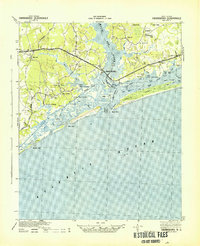
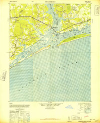
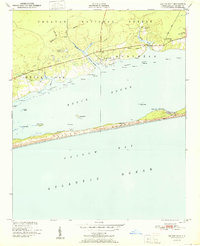
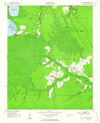
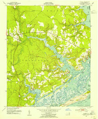
Other maps of this area

1942 · Maysville
USGS Topo · 1:62,500
1942 · Swansboro
USGS Topo · 1:62,500

1948 · Maysville
USGS Topo · 1:62,500
1948 · Swansboro
USGS Topo · 1:62,500
1949 · Havelock
USGS Topo · 1:24,000

1949 · Salter Path
USGS Topo · 1:24,000

1949 · Masontown
USGS Topo · 1:24,000
1951 · Salter Path
USGS Topo · 1:24,000
1951 · Masontown
USGS Topo · 1:24,000
1952 · Hubert
USGS Topo · 1:24,000