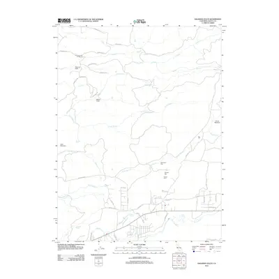
2012 Map of Hagaman Gulch
USGS Topo · Published 2012About this map
Ritts Mill and the historic path of the Emigrant Trl highlight this 2012 survey of the landscape northeast of Shingletown. The terrain is defined by a series of significant drainages including S Cow Cr, N Fork Bear Cr, and N Fork Battle Cr, which carve through a mosaic of high-altitude flats and meadows. Local history is etched into the landscape via family-named features and ranching sites like Fillmore Ranch, Dersch Meadows, and Poorman Flat.
Find a feature on this map
55 named features on this map. Tap any name to fly to it.
Don’t see what you’re looking for? This feature index may not catch every label — zoom into the map to look around manually.
Map Details
Editions of this 2012 Hagaman Gulch Map
This is the sole edition of this map. No revisions or reprints were ever made.
Other maps of this area

1886 · Lassen Peak
USGS Topo · 1:250,000

1892 · Lassen Peak
USGS Topo · 1:250,000

1894 · Lassen Peak
USGS Topo · 1:250,000

1935 · Burney
USGS Topo · 1:96,000

1935 · Paynes Creek
USGS Topo · 1:96,000

1939 · Burney
USGS Topo · 1:125,000

1941 · Mineral
USGS Topo · 1:125,000

1955 · Westwood
USGS Topo · 1:250,000

1956 · Lassen Peak
USGS Topo · 1:62,500

1956 · Manton
USGS Topo · 1:62,500