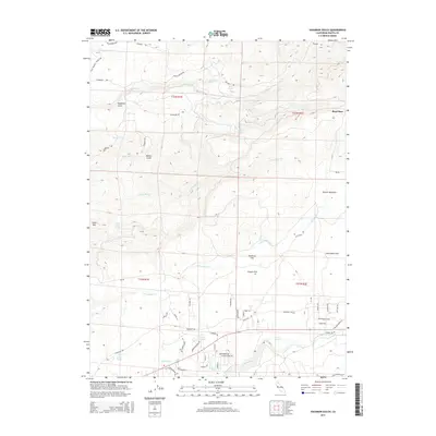
2015 Map of Hagaman Gulch
USGS Topo · Published 2015About this map
Hagaman Gulch and Miners Gulch define the northern terrain of this Shasta County landscape, where the volcanic highlands descend toward the Battle Creek watershed. The settlement at Beal Place and the presence of numerous water sources, such as Soda Spring and Glass Springs, indicate a region historically utilized for ranching and resource management. The map details a complex network of timber and access roads, including Ponderosa Way and Bitts Mill Rd, which intersect with the historic path of the Emigrant Trl. To the south, open areas like Poorman Flat and McCumber Flat transition into a landscape managed for utility, evidenced by the Keswick Ditch and its alignment with local drainage systems like Millseat Cr.
Find a feature on this map
49 named features on this map. Tap any name to fly to it.
Don’t see what you’re looking for? This feature index may not catch every label — zoom into the map to look around manually.
Map Details
Editions of this 2015 Hagaman Gulch Map
This is the sole edition of this map. No revisions or reprints were ever made.
Other maps of this area

1886 · Lassen Peak
USGS Topo · 1:250,000

1892 · Lassen Peak
USGS Topo · 1:250,000

1894 · Lassen Peak
USGS Topo · 1:250,000

1935 · Burney
USGS Topo · 1:96,000

1935 · Paynes Creek
USGS Topo · 1:96,000

1939 · Burney
USGS Topo · 1:125,000

1941 · Mineral
USGS Topo · 1:125,000

1955 · Westwood
USGS Topo · 1:250,000

1956 · Lassen Peak
USGS Topo · 1:62,500

1956 · Manton
USGS Topo · 1:62,500