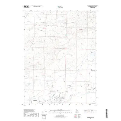
2018 Map of Hagaman Gulch
USGS Topo · Published 2018About this map
Shingletown anchors the southern portion of this landscape, situated at the edge of the rising Shasta County uplands. The terrain is defined by a dense network of seasonal and perennial watercourses, including S Cow Cr and N Fork Battle Cr, which have carved deep drainages like Hagaman Gulch and Miners Gulch. This 2018 survey reveals a complex interface of modern residential development and historical transit corridors.
Find a feature on this map
70 named features on this map. Tap any name to fly to it.
Don’t see what you’re looking for? This feature index may not catch every label — zoom into the map to look around manually.
Map Details
Editions of this 2018 Hagaman Gulch Map
This is the sole edition of this map. No revisions or reprints were ever made.
Other maps of this area

1886 · Lassen Peak
USGS Topo · 1:250,000

1892 · Lassen Peak
USGS Topo · 1:250,000

1894 · Lassen Peak
USGS Topo · 1:250,000

1935 · Burney
USGS Topo · 1:96,000

1935 · Paynes Creek
USGS Topo · 1:96,000

1939 · Burney
USGS Topo · 1:125,000

1941 · Mineral
USGS Topo · 1:125,000

1955 · Westwood
USGS Topo · 1:250,000

1956 · Lassen Peak
USGS Topo · 1:62,500

1956 · Manton
USGS Topo · 1:62,500