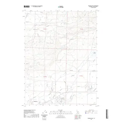
2022 Map of Hagaman Gulch
USGS Topo · Published 2022About this map
Shingletown anchors the southwestern portion of this Shasta County landscape, where the modern residential developments of Northwood Dr and Plateau Pines Rd meet the older terrain of the Cascade foothills. The historic path of the Emigrant Trl cuts across the southern sections, providing a tangible link to California's overland migration era. The topography is defined by a series of north-south drainage systems, including Hagaman Gulch, Miners Gulch, and the deep incisions of S Cow Cr.
Find a feature on this map
69 named features on this map. Tap any name to fly to it.
Don’t see what you’re looking for? This feature index may not catch every label — zoom into the map to look around manually.
Map Details
Editions of this 2022 Hagaman Gulch Map
This is the sole edition of this map. No revisions or reprints were ever made.
Other maps of this area

1886 · Lassen Peak
USGS Topo · 1:250,000

1892 · Lassen Peak
USGS Topo · 1:250,000

1894 · Lassen Peak
USGS Topo · 1:250,000

1935 · Burney
USGS Topo · 1:96,000

1935 · Paynes Creek
USGS Topo · 1:96,000

1939 · Burney
USGS Topo · 1:125,000

1941 · Mineral
USGS Topo · 1:125,000

1955 · Westwood
USGS Topo · 1:250,000

1956 · Lassen Peak
USGS Topo · 1:62,500

1956 · Manton
USGS Topo · 1:62,500