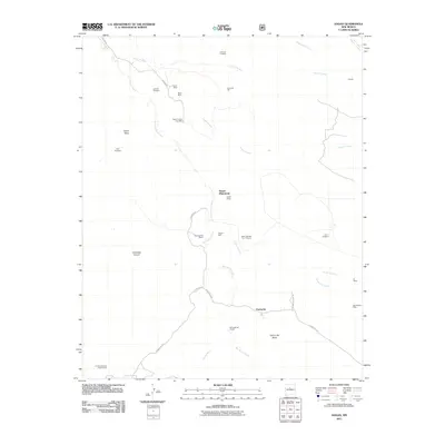
2011 Map of Hagan
USGS Topo · Published 2011About this map
Hagan (Historical) and the surrounding mining landscape of Sandoval County are preserved in this 2011 survey. The map records a complex network of resource extraction that defines the area, including the central Hagan Mines and several smaller operations like the Sloan Mine and Coyote Mine. Settlement patterns are sparse and closely tied to the land's geology, with Puertecito and Uña de Gato appearing as key points of reference along the drainage systems of Arroyo Tonque and Arroyo Coyote.
Find a feature on this map
35 named features on this map. Tap any name to fly to it.
Don’t see what you’re looking for? This feature index may not catch every label — zoom into the map to look around manually.
Map Details
Editions of this 2011 Hagan Map
This is the sole edition of this map. No revisions or reprints were ever made.
Other maps of this area

1892 · San Pedro
USGS Topo · 1:125,000

1954 · Sandia Crest
USGS Topo · 1:24,000

1954 · San Felipe Pueblo
USGS Topo · 1:24,000

1954 · Placitas
USGS Topo · 1:24,000

1954 · Sandia Park
USGS Topo · 1:24,000

1954 · San Pedro
USGS Topo · 1:24,000

1954 · San Felipe Pueblo NE
USGS Topo · 1:24,000

1954 · Hagan
USGS Topo · 1:24,000

1954 · San Felipe Pueblo
USGS Topo · 1:62,500

1956 · Edgewood
USGS Topo · 1:62,500