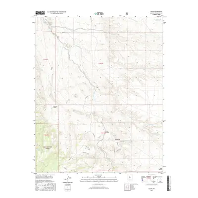
2017 Map of Hagan
USGS Topo · Published 2017About this map
Hagan and Puertecito sit within a landscape of deeply cut watercourses and arid plateaus at the edge of the Cibola National Forest. This 2017 study illustrates the complex drainage network defining the region, where the Arroyo Una de Gato and Arroyo Tonque converge near the high ground of Canon Tejon. The map captures the presence of public lands and protected areas, including the Golden Open Space, which buffer the small settlements and local family landmarks like Gonzales Canyon. Significant for genealogists and local historians, the sheet identifies the Tejon Cem and vital water sources such as San Francisco Spring and Escondido Spring, which historically dictated the pattern of human habitation and travel routes like Madera Rd and La Madera Rd through the desert terrain.
Find a feature on this map
32 named features on this map. Tap any name to fly to it.
Don’t see what you’re looking for? This feature index may not catch every label — zoom into the map to look around manually.
Map Details
Editions of this 2017 Hagan Map
This is the sole edition of this map. No revisions or reprints were ever made.
Other maps of this area

1892 · San Pedro
USGS Topo · 1:125,000

1954 · Sandia Crest
USGS Topo · 1:24,000

1954 · San Felipe Pueblo
USGS Topo · 1:24,000

1954 · Placitas
USGS Topo · 1:24,000

1954 · Sandia Park
USGS Topo · 1:24,000

1954 · San Pedro
USGS Topo · 1:24,000

1954 · San Felipe Pueblo NE
USGS Topo · 1:24,000

1954 · Hagan
USGS Topo · 1:24,000

1954 · San Felipe Pueblo
USGS Topo · 1:62,500

1956 · Edgewood
USGS Topo · 1:62,500