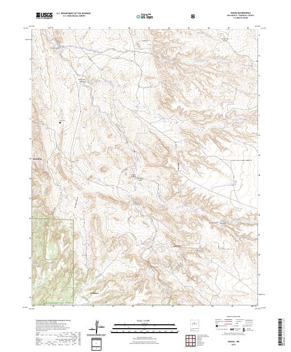
2023 Map of Hagan
USGS Topo · Published 2023About this map
Placitas and the high desert terrain of Sandoval County are captured here, revealing a landscape defined by an intricate network of seasonal watercourses. The drainage patterns of Arroyo Tongue, Arroyo Coyote, and San Pedro Creek dominate the topography, illustrating the erosive force of water through this arid region. Small settlements like La Madera and Puertecito are linked by local routes such as La Madera Rd and Puertecito Rd, tracing the foot of the mountains where the Cibola National Forest begins. For genealogists and local historians, the placement of the Tejon Cem and the naming of canyons like Gonzales Canyon and Cañon Tejon provide specific landmarks tied to the cultural geography of these New Mexico communities.
Find a feature on this map
30 named features on this map. Tap any name to fly to it.
Don’t see what you’re looking for? This feature index may not catch every label — zoom into the map to look around manually.
Map Details
Editions of this 2023 Hagan Map
This is the sole edition of this map. No revisions or reprints were ever made.
Other maps of this area

1892 · San Pedro
USGS Topo · 1:125,000

1954 · Sandia Crest
USGS Topo · 1:24,000

1954 · San Felipe Pueblo
USGS Topo · 1:24,000

1954 · Placitas
USGS Topo · 1:24,000

1954 · Sandia Park
USGS Topo · 1:24,000

1954 · San Pedro
USGS Topo · 1:24,000

1954 · San Felipe Pueblo NE
USGS Topo · 1:24,000

1954 · Hagan
USGS Topo · 1:24,000

1954 · San Felipe Pueblo
USGS Topo · 1:62,500

1956 · Edgewood
USGS Topo · 1:62,500