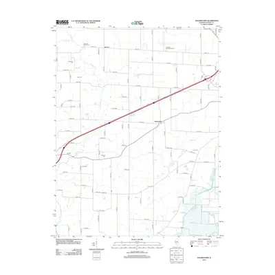
2012 Map of Hagarstown
USGS Topo · Published 2012About this map
Hagarstown and the surrounding Fayette County prairie land are defined by a complex network of drainage and small family burial grounds in this 2012 survey. The landscape is etched by Hurricane Cr and Raccoon Cr, while the southeastern corner features a distinctive wetland complex including Fish Lake, Hook Lake, and Suttons Pond, managed by the Fish Lake Ditch. Small settlements like Jimtown and Lutz Spur anchor the rural road grid, while the Vandalia Municipal Airport serves as a modern regional landmark. For genealogists, the map is particularly valuable for its precise location of numerous small cemeteries such as the Wright and Neathery Cem, McInturff Cem, and Eakle Cem, which often represent the earliest pioneer footprints in the area before the development of modern infrastructure.
Find a feature on this map
83 named features on this map. Tap any name to fly to it.
Don’t see what you’re looking for? This feature index may not catch every label — zoom into the map to look around manually.
Map Details
Editions of this 2012 Hagarstown Map
This is the sole edition of this map. No revisions or reprints were ever made.
Other maps of this area

1932 · Greenville
USGS Topo · 1:62,500

1939 · Greenville
USGS Topo · 1:62,500

1943 · Greenville
USGS Topo · 1:62,500

1944 · Ramsey
USGS Topo · 1:62,500

1945 · Vandalia
USGS Topo · 1:62,500

1946 · Ramsey
USGS Topo · 1:62,500

1947 · Vandalia
USGS Topo · 1:62,500

1947 · Hillsboro
USGS Topo · 1:62,500

1949 · Hillsboro
USGS Topo · 1:62,500

1958 · Decatur
USGS Topo · 1:250,000