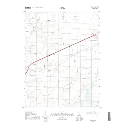
2021 Map of Hagarstown
USGS Topo · Published 2021About this map
Vandalia and the surrounding Fayette County landscape are defined by a mix of aviation, agricultural infrastructure, and a deep network of rural burial grounds. The northeast corner of this map is anchored by the Vandalia Municipal Airport, while the central and western sections transition into a grid of county roads such as Thrill Hill Rd and Co Rd 1400 N. The settlement of Hagarstown sits near the crossing of these routes, providing a glimpse into the local distribution of small communities in this part of Illinois.
Find a feature on this map
73 named features on this map. Tap any name to fly to it.
Don’t see what you’re looking for? This feature index may not catch every label — zoom into the map to look around manually.
Map Details
Editions of this 2021 Hagarstown Map
This is the sole edition of this map. No revisions or reprints were ever made.
Other maps of this area

1932 · Greenville
USGS Topo · 1:62,500

1939 · Greenville
USGS Topo · 1:62,500

1943 · Greenville
USGS Topo · 1:62,500

1944 · Ramsey
USGS Topo · 1:62,500

1945 · Vandalia
USGS Topo · 1:62,500

1946 · Ramsey
USGS Topo · 1:62,500

1947 · Vandalia
USGS Topo · 1:62,500

1947 · Hillsboro
USGS Topo · 1:62,500

1949 · Hillsboro
USGS Topo · 1:62,500

1958 · Decatur
USGS Topo · 1:250,000