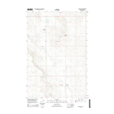
2014 Map of Hagen Ranch
USGS Topo · Published 2014About this map
Hagen Ranch sits at the center of this Rosebud County landscape, where the drainage systems of the eastern Montana plains define the local geography. The area is characterized by a network of seasonal watercourses and topographic depressions, most notably the winding Big Porcupine Cr which traverses the central and southern sections. Evidence of long-standing ranching tradition is seen in the naming of local landmarks such as Wild Horse Pete Coulee and Hallanger Coulee, reflecting the personal history of the families who worked this land.
Find a feature on this map
10 named features on this map. Tap any name to fly to it.
Don’t see what you’re looking for? This feature index may not catch every label — zoom into the map to look around manually.
Map Details
Editions of this 2014 Hagen Ranch Map
This is the sole edition of this map. No revisions or reprints were ever made.
Other maps of this area

1954 · Forsyth
USGS Topo · 1:250,000

1957 · Forsyth
USGS Topo · 1:250,000

1958 · Forsyth
USGS Topo · 1:250,000

1960 · Hagen Ranch
USGS Topo · 1:24,000

1960 · Thebes
USGS Topo · 1:24,000

1960 · Ingomar East
USGS Topo · 1:24,000

1960 · Brown Coulee
USGS Topo · 1:24,000

1960 · Zempel Lake
USGS Topo · 1:24,000

1960 · Black Sea Reservoir
USGS Topo · 1:24,000

1965 · Acorn Flats
USGS Topo · 1:24,000