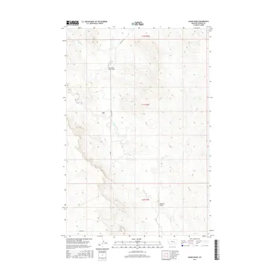
2017 Map of Hagen Ranch
USGS Topo · Published 2017About this map
Hagen Ranch sits at the heart of this rangeland landscape in Rosebud County, where the topography is defined by the complex drainage systems of the Montana plains. The intermittent waters of Big Porcupine Cr and Short Cr wind through the township, carving out named features such as Wild Horse Pete Coulee and Hallanger Coulee. These geographic landmarks provide a glimpse into the local history and the cattle-rearing heritage of the region.
Find a feature on this map
12 named features on this map. Tap any name to fly to it.
Don’t see what you’re looking for? This feature index may not catch every label — zoom into the map to look around manually.
Map Details
Editions of this 2017 Hagen Ranch Map
This is the sole edition of this map. No revisions or reprints were ever made.
Other maps of this area

1954 · Forsyth
USGS Topo · 1:250,000

1957 · Forsyth
USGS Topo · 1:250,000

1958 · Forsyth
USGS Topo · 1:250,000

1960 · Hagen Ranch
USGS Topo · 1:24,000

1960 · Thebes
USGS Topo · 1:24,000

1960 · Ingomar East
USGS Topo · 1:24,000

1960 · Brown Coulee
USGS Topo · 1:24,000

1960 · Zempel Lake
USGS Topo · 1:24,000

1960 · Black Sea Reservoir
USGS Topo · 1:24,000

1965 · Acorn Flats
USGS Topo · 1:24,000