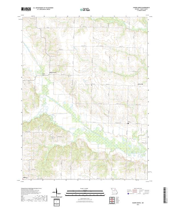
2021 Map of Hagers Grove
USGS Topo · Published 2021About this map
The North Fork Salt River and its numerous tributaries, including Ten Mile Creek and Pollard Br, define the low-lying drainage patterns of central Shelby County. This 2021 study shows a rural landscape where agricultural life is anchored by small settlements like Hagers Grove and Kellerville. The network of secondary roads and county routes, such as State Hwy H and Co Rd 214, connects isolated farmsteads and points of local historical interest.
Find a feature on this map
71 named features on this map. Tap any name to fly to it.
Don’t see what you’re looking for? This feature index may not catch every label — zoom into the map to look around manually.
Map Details
Editions of this 2021 Hagers Grove Map
This is the sole edition of this map. No revisions or reprints were ever made.
Other maps of this area

1908 · Atlanta
USGS Topo · 1:62,500

1908 · Macon
USGS Topo · 1:62,500

1910 · Macon
USGS Topo · 1:62,500

1953 · Moberly
USGS Topo · 1:250,000

1954 · Moberly
USGS Topo · 1:250,000

1957 · Moberly
USGS Topo · 1:250,000

1958 · Lentner
USGS Topo · 1:24,000

1959 · Shelbina
USGS Topo · 1:24,000

1960 · Moberly
USGS Topo · 1:250,000
1963 · Leonard
USGS Topo · 1:24,000