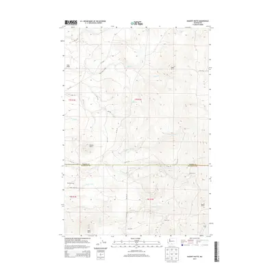
2013 Map of Hagerty Butte
USGS Topo · Published 2013About this map
Hagerty Butte and a series of prominent volcanic peaks define the high-elevation landscape along the border of Yakima and Klickitat counties. This 2013 topographic study reveals a terrain shaped by drainage networks including Twentyfive Mile Cr and Summit Creek, which carve through the ridges. The land management here is evident in the dense network of Bureau of Indian Affairs roads, such as BIA 248 Rd and BIA 159 Rd, reflecting the map's location within the Yakama Indian Reservation. Isolated seasonal outposts like Featherbed Camp and Yeackel Camp are positioned near local water sources like Graham Spring, serving as small points of human activity in an otherwise remote expanse of timber and meadowland. The presence of specialized routes like the Sheep Creek Cutoff suggests a history of livestock movement between the high buttes and sheltered basins like Cedar Valley.
Find a feature on this map
37 named features on this map. Tap any name to fly to it.
Don’t see what you’re looking for? This feature index may not catch every label — zoom into the map to look around manually.
Map Details
Editions of this 2013 Hagerty Butte Map
This is the sole edition of this map. No revisions or reprints were ever made.
Other maps of this area

1904 · Mount Adams
USGS Topo · 1:125,000

1907 · Mount Adams
USGS Topo · 1:125,000

1934 · The Dalles
USGS Topo · 1:125,000

1937 · White Swan
USGS Topo · 1:125,000

1950 · Yakima
USGS Topo · 1:250,000

1953 · The Dalles
USGS Topo · 1:250,000

1956 · The Dalles
USGS Topo · 1:250,000

1957 · The Dalles
USGS Topo · 1:250,000

1957 · Klickitat
USGS Topo · 1:62,500

1957 · Goldendale
USGS Topo · 1:62,500