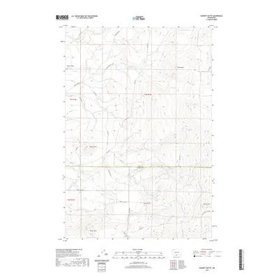
2020 Map of Hagerty Butte
USGS Topo · Published 2020About this map
Hagerty Butte and Sheep Butte anchor a landscape defined by sharp elevation shifts across the boundary of Yakima Co and Klickitat Co. This 2020 record of the region shows a complex network of high-elevation drainages including Twentyfive Mile Cr, Kinney Cr, and Summit Cr. The terrain is marked by essential water sources for this arid environment, such as Poker Spring and Graham Spring, which have long served travelers and livestock in the higher elevations.
Find a feature on this map
36 named features on this map. Tap any name to fly to it.
Don’t see what you’re looking for? This feature index may not catch every label — zoom into the map to look around manually.
Map Details
Editions of this 2020 Hagerty Butte Map
This is the sole edition of this map. No revisions or reprints were ever made.
Other maps of this area

1904 · Mount Adams
USGS Topo · 1:125,000

1907 · Mount Adams
USGS Topo · 1:125,000

1934 · The Dalles
USGS Topo · 1:125,000

1937 · White Swan
USGS Topo · 1:125,000

1950 · Yakima
USGS Topo · 1:250,000

1953 · The Dalles
USGS Topo · 1:250,000

1956 · The Dalles
USGS Topo · 1:250,000

1957 · The Dalles
USGS Topo · 1:250,000

1957 · Klickitat
USGS Topo · 1:62,500

1957 · Goldendale
USGS Topo · 1:62,500