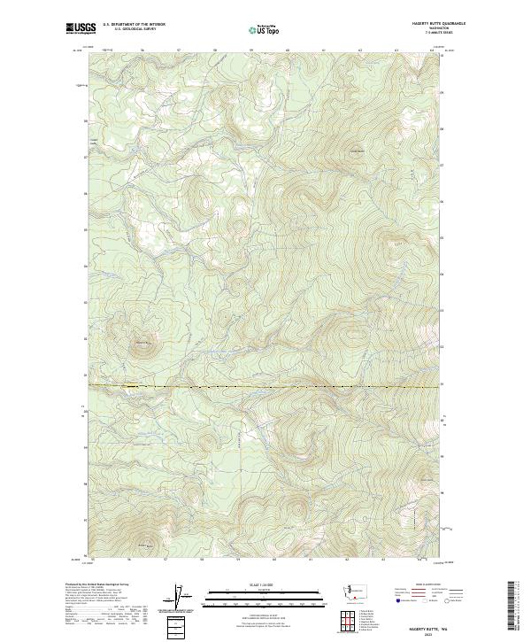
2023 Map of Hagerty Butte
USGS Topo · Published 2023About this map
Hagerty Butte and its neighboring volcanic peaks define this corner of the Yakama Indian Reservation, where the terrain transitions across the Yakima Co and Klickitat Co boundary. The landscape is a high-elevation network of ridges and springs, characterized by a series of prominent buttes including Sheep Butte, Potato Butte, and Kaiser Butte. These landmarks served as vital navigation points long before modern surveying, overlooking drainage basins for Summit Creek and Twentyfive Mile Creek.
Find a feature on this map
36 named features on this map. Tap any name to fly to it.
Don’t see what you’re looking for? This feature index may not catch every label — zoom into the map to look around manually.
Map Details
Editions of this 2023 Hagerty Butte Map
This is the sole edition of this map. No revisions or reprints were ever made.
Other maps of this area

1904 · Mount Adams
USGS Topo · 1:125,000

1907 · Mount Adams
USGS Topo · 1:125,000

1934 · The Dalles
USGS Topo · 1:125,000

1937 · White Swan
USGS Topo · 1:125,000

1950 · Yakima
USGS Topo · 1:250,000

1953 · The Dalles
USGS Topo · 1:250,000

1956 · The Dalles
USGS Topo · 1:250,000

1957 · The Dalles
USGS Topo · 1:250,000

1957 · Klickitat
USGS Topo · 1:62,500

1957 · Goldendale
USGS Topo · 1:62,500