
1911 Map of Hahns Peak
USGS Topo · Published 1954About this map
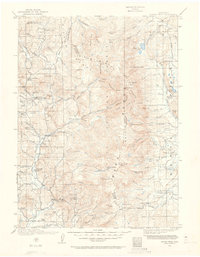
Hahn's Peak and the high mountain reaches of the Continental Divide anchor this 1910-1911 survey of the northern Park Range. The map captures a transition between the mining camps and high-country ranching life that defined the era. Remote settlements like Pearl and Slavonia appear alongside numerous rangeland operations such as the Boettcher Ranch and Kinney Road Ranch. Education for the children of homesteaders and miners was decentralized, evidenced by isolated campus labels for Moon Hill School, Mad Creek School, and Butler School.
Find a feature on this map
138 named features on this map. Tap any name to fly to it.
Don’t see what you’re looking for? This feature index may not catch every label — zoom into the map to look around manually.
Map Details
Editions of this 1911 Hahns Peak Map
2 editions found
Other maps of this area

1906 · Medicine Bow
USGS Topo · 1:125,000

1908 · Medicine Bow
USGS Topo · 1:125,000

1913 · Hahns Peak
USGS Topo · 1:125,000

1923 · Pilot Knob
USGS Topo · 1:62,500

1924 · Mt. Harris
USGS Topo · 1:48,000

1925 · Pilot Knob
USGS Topo · 1:62,500

1926 · Mount Harris
USGS Topo · 1:62,500

1932 · Savery
USGS Topo · 1:96,000

1939 · Saratoga
USGS Topo · 1:125,000

1940 · Savery
USGS Topo · 1:125,000