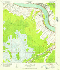
1952 Map of Hahnville
USGS Topo · Published 1953About this map
The Mississippi River defines the industrial and agricultural landscape of this mid-century survey, flanked by a dense network of riverfront settlements and large-scale infrastructure. Along the eastern bank, the massive Oil Refinery at Norco and the Waterworks at Good Hope signal the era's petrochemical expansion, while the Bonnet Carre Floodway stands as a testament to regional water management. Traditional river-road communities like Hahnville and Sellers are connected by the Texas and Pacific and Southern Pacific railroads.
Find a feature on this map
55 named features on this map. Tap any name to fly to it.
Don’t see what you’re looking for? This feature index may not catch every label — zoom into the map to look around manually.
Map Details
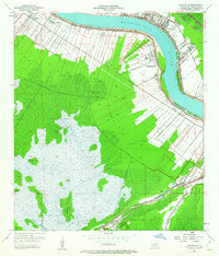
Editions of this 1952 Hahnville Map
2 editions found
Other maps of this area

1891 · Hahnville
USGS Topo · 1:62,500

1892 · Lac Des Allemands
USGS Topo · 1:62,500

1892 · Mount Airy
USGS Topo · 1:62,500

1892 · Bonnet Carre
USGS Topo · 1:62,500

1932 · Lac Des Allemands SE
USGS Topo · 1:31,680

1932 · Hahnville NW
USGS Topo · 1:31,680

1932 · Lac Des Allemands NE
USGS Topo · 1:31,680

1932 · Hahnville SW
USGS Topo · 1:31,680

1932 · Hahnville NE
USGS Topo · 1:31,680

1935 · Laplace
USGS Topo · 1:31,680