2021 Map of Haigler
USGS Topo · Published 2021About this map
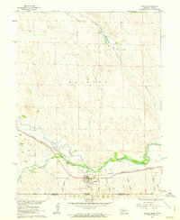
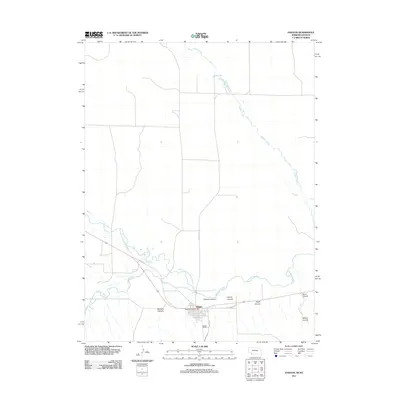
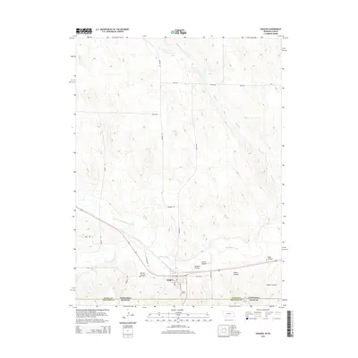
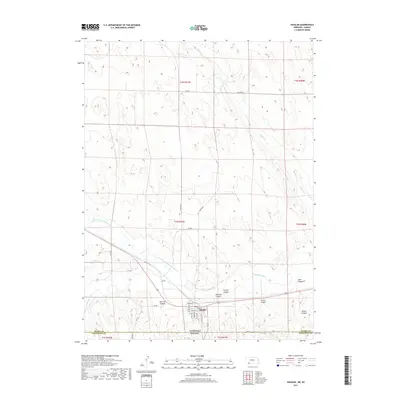
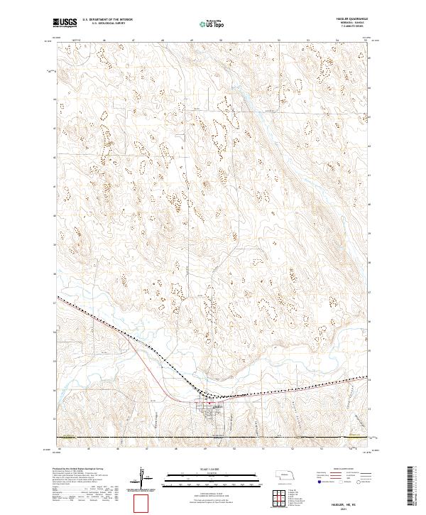
The Haigler settlement occupies a strategic point near the southern border of Dundy County, Nebraska, positioned along the banks of the Arikaree River. This 2021 survey illustrates the town's grid, including major thoroughfares like Porter Ave and East Ave, as well as the local Po. The surrounding landscape is defined by a series of dramatic erosional features south of the river, where deep incisions such as McCann Canyon, Gilmore Canyon, and Carroll Canyon dominate the terrain. To the north, the geography transitions into a high plains environment bisected by the winding course of Buffalo Cr. The map also records the precise intersection of the state line, showing the transition from Nebraska into Kansas south of RD Ee.
Find a feature on this map
31 named features on this map. Tap any name to fly to it.
Don’t see what you’re looking for? This feature index may not catch every label — zoom into the map to look around manually.
Map Details
Editions of this 2021 Haigler Map
This is the sole edition of this map. No revisions or reprints were ever made.
Historical Maps of Haigler Through Time
5 maps found