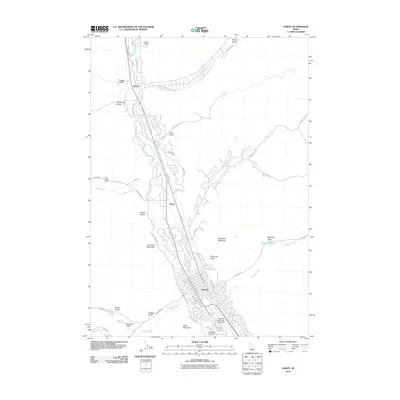
2010 Map of Hailey
USGS Topo · Published 2010About this map
The Big Wood River valley serves as the central corridor for this 2010 survey, anchoring the settlement of Hailey and its surrounding mountain landscape. This era shows a community defined by its water management and aviation access, with the Friedman Memorial Airport situated on the southern edge of town and an intricate network of irrigation including the Hiawatha Canal, Justice Ditch, and Mizer Ditch branching off the river.
Find a feature on this map
54 named features on this map. Tap any name to fly to it.
Don’t see what you’re looking for? This feature index may not catch every label — zoom into the map to look around manually.
Map Details
Editions of this 2010 Hailey Map
This is the sole edition of this map. No revisions or reprints were ever made.
Other maps of this area

1895 · Hailey
USGS Topo · 1:125,000

1897 · Hailey
USGS Topo · 1:125,000

1955 · Hailey
USGS Topo · 1:250,000

1957 · Bellevue
USGS Topo · 1:62,500

1957 · Bellevue
USGS Topo · 1:24,000

1959 · Hailey
USGS Topo · 1:250,000

1962 · Hailey
USGS Topo · 1:250,000

1967 · Baugh Creek SW
USGS Topo · 1:24,000

1967 · Mahoney Butte
USGS Topo · 1:24,000

1967 · Sun Valley
USGS Topo · 1:24,000