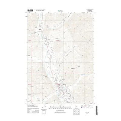
2013 Map of Hailey
USGS Topo · Published 2013About this map
Hailey serves as the focal point of this 2013 Idaho survey, situated along the Big Wood River at the base of Carbonate Mtn and Della Mtn. The landscape is defined by the sharp transition between the river valley and the steep gulches of the Wood River Valley, including Hangman Gulch and Deadman Gulch. Sophisticated water management is visible through the Hiawatha Canal, Comstock Ditch, and Mizer Ditch, which support the agricultural and residential development in this high-altitude corridor. To the north, the small settlements of Barite and Gimlet follow the river's path, while the southern end of the map is dominated by the Friedman Memorial Airport. The map also highlights local landmarks like Hailey Hot Springs and Deer Creek Ranch, illustrating a modern blend of ranching heritage and growing aviation and residential infrastructure.
Find a feature on this map
158 named features on this map. Tap any name to fly to it.
Don’t see what you’re looking for? This feature index may not catch every label — zoom into the map to look around manually.
Map Details
Editions of this 2013 Hailey Map
This is the sole edition of this map. No revisions or reprints were ever made.
Other maps of this area

1895 · Hailey
USGS Topo · 1:125,000

1897 · Hailey
USGS Topo · 1:125,000

1955 · Hailey
USGS Topo · 1:250,000

1957 · Bellevue
USGS Topo · 1:62,500

1957 · Bellevue
USGS Topo · 1:24,000

1959 · Hailey
USGS Topo · 1:250,000

1962 · Hailey
USGS Topo · 1:250,000

1967 · Baugh Creek SW
USGS Topo · 1:24,000

1967 · Mahoney Butte
USGS Topo · 1:24,000

1967 · Sun Valley
USGS Topo · 1:24,000