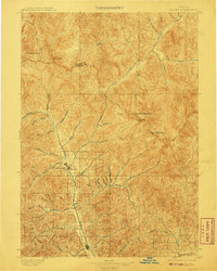
1897 Map of Hailey
USGS Topo · Published 1908About this map
Hailey and Ketchum serve as the primary anchors for this late-19th-century survey of the Wood River Valley and its surrounding peaks. The Union Pacific (Wood River Branch) railroad provides a clear structural spine through the canyon, connecting the settlement at Gimlet with the mountain mining and recreation hubs. This era shows the landscape before modern resort development, highlighting early local interests like Hailey Hot Springs and Guyer Hot Springs along the Warm Springs Creek corridor. To the east and north, the map reveals a complex network of high-altitude drainages feeding the North Fork Wood River and North Fork Lost River, dominated by massive summits such as Hyndman Peak and the curiously named The Devils Bedstead. The boundary between Custer and Blaine Counties is traced along the ridgelines, marking the divide between these critical Idaho watersheds.
Find a feature on this map
45 named features on this map. Tap any name to fly to it.
Don’t see what you’re looking for? This feature index may not catch every label — zoom into the map to look around manually.
Map Details
Editions of this 1897 Hailey Map
3 editions found
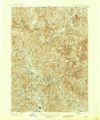
Other maps of this area

1895 · Hailey
USGS Topo · 1:125,000

1897 · Hailey
USGS Topo · 1:125,000

1900 · Sawtooth
USGS Topo · 1:125,000

1919 · Custer
USGS Topo · 1:125,000

1922 · Custer
USGS Topo · 1:125,000

1929 · Bayhorse
USGS Topo · 1:125,000

1935 · MacKay
USGS Topo · 1:96,000

1935 · Borah Peak
USGS Topo · 1:125,000

1938 · Borah Peak
USGS Topo · 1:125,000

1955 · Dubois
USGS Topo · 1:250,000