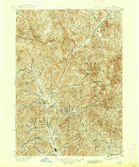
1897 Map of Hailey
USGS Topo · Published 1937About this map
The Big Wood River valley serves as the central artery for this late-19th-century survey, anchoring the primary settlements of Hailey and Ketchum. At this time, the Oregon Short Line railroad connected these high-altitude communities, terminating just north of Ketchum. The landscape is defined by the convergence of the Sawtooth Mountains, Boulder Mts, and Pioneer Mountains, where massive summits like Hyndman Peak and The Devils Bedstead tower over the drainage basins.
Find a feature on this map
47 named features on this map. Tap any name to fly to it.
Don’t see what you’re looking for? This feature index may not catch every label — zoom into the map to look around manually.
Map Details
Editions of this 1897 Hailey Map
3 editions found
Other maps of this area

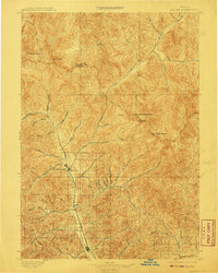
1895 · Hailey
USGS Topo · 1:125,000

1897 · Hailey
USGS Topo · 1:125,000

1900 · Sawtooth
USGS Topo · 1:125,000

1919 · Custer
USGS Topo · 1:125,000

1922 · Custer
USGS Topo · 1:125,000

1929 · Bayhorse
USGS Topo · 1:125,000

1935 · MacKay
USGS Topo · 1:96,000

1935 · Borah Peak
USGS Topo · 1:125,000

1938 · Borah Peak
USGS Topo · 1:125,000

1955 · Dubois
USGS Topo · 1:250,000