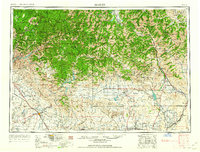
1962 Map of Hailey
USGS Topo · Published 1962About this map
Camas Prairie provides a central agricultural heart for this 1962 landscape, flanked by the massive elevations of the Sawtooth Mountains and Pioneer Mountains. In the north, the recreational and mining economies of Ketchum and Sun Valley are well-established, supported by operations like the Triumph Mine and Silver Star Queens Mine. The map documents a complex water management system vital to the arid Snake River Plain, featuring the Anderson Ranch Dam, Magic Reservoir, and Little Wood River Reservoir.
Find a feature on this map
191 named features on this map. Tap any name to fly to it.
Don’t see what you’re looking for? This feature index may not catch every label — zoom into the map to look around manually.
Map Details
Editions of this 1962 Hailey Map
This is the sole edition of this map. No revisions or reprints were ever made.
Other maps of this area
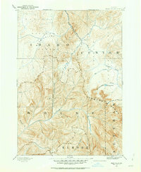
1891 · Bear Valley
USGS Topo · 1:125,000
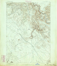
1892 · Mountain Home
USGS Topo · 1:125,000
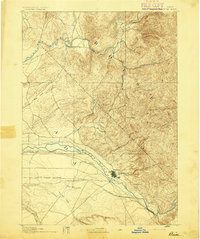
1892 · Boise
USGS Topo · 1:125,000
1892 · Bisuka
USGS Topo · 1:125,000
1892 · Camas Prairie
USGS Topo · 1:125,000
1893 · Mountain Home
USGS Topo · 1:125,000
1893 · Bear Valley
USGS Topo · 1:125,000
1893 · Camas Prairie
USGS Topo · 1:125,000
1894 · Bisuka
USGS Topo · 1:125,000
1894 · Squaw Creek
USGS Topo · 1:125,000