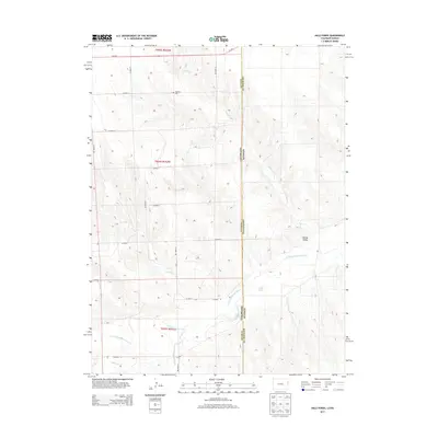
2013 Map of Hale Ponds
USGS Topo · Published 2013About this map
S Fork Republican River winds through the high plains of Eastern Colorado and Western Kansas, marking a landscape defined by its vital water sources in an otherwise arid region. The boundary between Yuma County, Colorado, and Cheyenne County, Kansas, bisects the sheet, highlighting the interstate character of the local hydrology. Notable for genealogists, the Gilstrap Cem sits in the northern section, a lonely landmark of early settlement. The presence of the Hale Ditch and the namesake Hale Ponds illustrates the importance of irrigation and water management to the agrarian life of Lansing Valley. Seasonal drainages like Sand Cr and Coupe Cr feed into the river basin, while Corder Lake provides a static water feature in this rolling high-desert terrain.
Find a feature on this map
28 named features on this map. Tap any name to fly to it.
Don’t see what you’re looking for? This feature index may not catch every label — zoom into the map to look around manually.
Map Details
Editions of this 2013 Hale Ponds Map
This is the sole edition of this map. No revisions or reprints were ever made.
Other maps of this area

1942 · St. Francis
USGS Topo · 1:62,500

1943 · St. Francis
USGS Topo · 1:62,500

1950 · Bonny Reservoir
USGS Topo · 1:62,500

1951 · St Francis
USGS Topo · 1:62,500

1952 · St Francis 3
USGS Topo · 1:62,500

1954 · Limon
USGS Topo · 1:250,000

1954 · Goodland
USGS Topo · 1:250,000

1956 · Goodland
USGS Topo · 1:250,000

1957 · Limon
USGS Topo · 1:250,000

1957 · Goodland
USGS Topo · 1:250,000