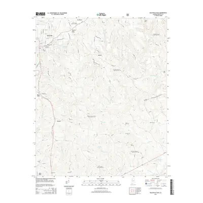
2014 Map of Haleyville East
USGS Topo · Published 2014About this map
The Tennessee Valley Divide cuts across the northern reaches of Winston County, Alabama, defining the watershed between the Tennessee River basin and the southern flow of the Buttahatchee River. This 2014 survey reveals a landscape deeply incised by the drainage systems of Clear Creek and its many tributaries, including Little Clear Cr and Mineral Springs Br. The terrain is characterized by steep ravines and distinctive topographic depressions such as Frost Gulf and Bull Gulf.
Find a feature on this map
117 named features on this map. Tap any name to fly to it.
Don’t see what you’re looking for? This feature index may not catch every label — zoom into the map to look around manually.
Map Details
Editions of this 2014 Haleyville East Map
This is the sole edition of this map. No revisions or reprints were ever made.
Other maps of this area

1936 · Delmar
USGS Topo · 1:24,000

1936 · Kinlock Spring
USGS Topo · 1:24,000

1936 · Phil Campbell
USGS Topo · 1:24,000

1936 · Moulton
USGS Topo · 1:48,000

1936 · Goddard
USGS Topo · 1:24,000

1940 · Mt Hope
USGS Topo · 1:62,500

1946 · Phil Campbell
USGS Topo · 1:24,000

1947 · Phil Campbell
USGS Topo · 1:24,000

1947 · Kinlock Spring
USGS Topo · 1:24,000
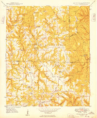
1949 · Kinlock Spring
USGS Topo · 1:24,000