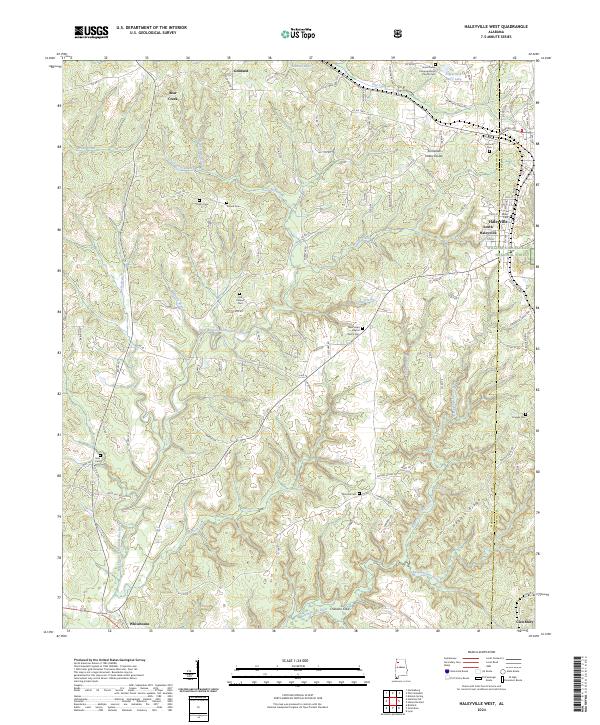
2024 Map of Haleyville West
USGS Topo · Published 2024About this map
Goddard and South Haleyville anchor this survey of the upland drainage between the Buttahatchee River and the Tennessee Valley Divide. The landscape is a network of ridges and deep hollows, including Hoggle Ridge and Chastine Cove, where the headwaters of the West Branch Buttahatchee River and Hobson Creek begin their descent. Small rural communities are defined by their spiritual and family landmarks, with several established sites such as New Hope Baptist Church and Union Grove Congregational Chruch situated along the winding country roads.
Find a feature on this map
112 named features on this map. Tap any name to fly to it.
Don’t see what you’re looking for? This feature index may not catch every label — zoom into the map to look around manually.
Map Details
Editions of this 2024 Haleyville West Map
This is the sole edition of this map. No revisions or reprints were ever made.
Other maps of this area

1936 · Delmar
USGS Topo · 1:24,000

1936 · Kinlock Spring
USGS Topo · 1:24,000

1936 · Phil Campbell
USGS Topo · 1:24,000

1936 · South Of Hackleburg
USGS Topo · 1:24,000

1936 · Hackleburg
USGS Topo · 1:24,000

1936 · Goddard
USGS Topo · 1:24,000

1946 · Hackleburg
USGS Topo · 1:24,000

1946 · Phil Campbell
USGS Topo · 1:24,000

1947 · Phil Campbell
USGS Topo · 1:24,000

1947 · Kinlock Spring
USGS Topo · 1:24,000