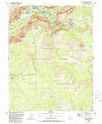
1990 Map of Half Dome
USGS Topo · Published 1990About this map
Yosemite Village and the high Sierra peaks dominate this detailed study of the valley and its surrounding wilderness. The map illustrates the concentration of visitor infrastructure during the late twentieth century, including the Ahwahnee Hotel, Curry Village, and numerous sites like Sunnyside Campground. These developed areas contrast sharply with the expansive Yosemite Wilderness that stretches south toward Ostrander Lake.
Find a feature on this map
75 named features on this map. Tap any name to fly to it.
Don’t see what you’re looking for? This feature index may not catch every label — zoom into the map to look around manually.
Map Details
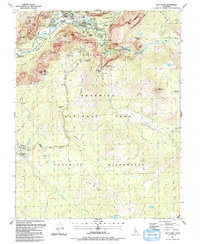
Editions of this 1990 Half Dome Map
2 editions found
Other maps of this area

1897 · Yosemite
USGS Topo · 1:125,000

1900 · Yosemite
USGS Topo · 1:125,000

1901 · Mt. Lyell
USGS Topo · 1:125,000

1903 · Yosemite
USGS Topo · 1:125,000

1909 · Yosemite
USGS Topo · 1:125,000

1947 · Mariposa
USGS Topo · 1:250,000

1948 · Mariposa
USGS Topo · 1:250,000

1953 · Merced Peak
USGS Topo · 1:62,500

1956 · Hetch Hetchy Reservoir
USGS Topo · 1:62,500

1956 · Tuolumne Meadows
USGS Topo · 1:62,500